In the past couple of years, we’ve all seen and heard a lot about drones. These flying robots have many applications—from military reconnaissance to search and rescue operations, photography, and even delivering your package from Amazon. Like other advanced technologies, drones are changing the way we do things and impacting many industries, including construction.
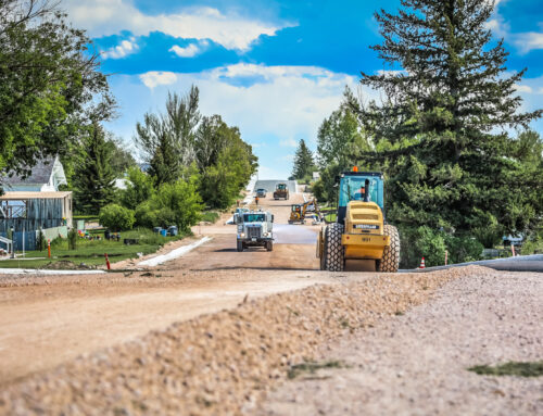
The use of GPS drone technology provides many benefits to construction companies. For Oftedal, using drones for pre-, mid-, and post-project land surveying and construction staking has become our standard mode of operation. Anytime we can employ advanced technologies to enhance precision, speed up timelines, and improve costs, we do it.
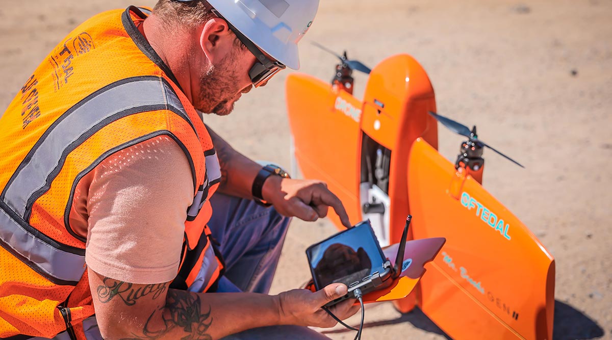
We use fixed-wing drones for topographic mapping and land surveying. Oftedal supervisors, grade foremen, field engineers and college interns are trained to proficiently utilize GPS data. With their airplane-like design, our GPS drones can fly higher than other types of drones and follow a set path (that we pre-program). The information collected is equivalent to that provided by a professional engineer; we use the data to determine material quantities and land contours, for machine controls and for base stations to do our own staking.
“GPS Drone technology has allowed us to take our surveying to a new level,” said Matt Gagnon, Oftedal’s GPS Manager. “The key is to know how to program the flight plan into the software so that the drone gets what we need.”
Using drones for aerial mapping of job sites provides the following benefits to our employees and our clients:
Accessibility. The immediate benefit is the drone’s ability to take off from and fly almost anywhere. Drones allow us to access previously unreachable areas and survey steep, unsafe slopes and harsh terrains that traditional measurement tools can’t reach.
Time savings. Drones have significantly cut the time needed to survey a project site. For example, a surveying project that would heretofore have required one of our surveyors three days to complete via conventional methods, now takes about a half an hour. This enables us to provide topographic data sets to our clients up to five times faster than when using land-based methods.
Precision. The data captured by our drones is highly accurate; in fact, it can be accurate up to a centimeter. In addition, 3D textured mesh produced by our drones provides a high-resolution reproduction of the edges, faces, vertices, and texture of the area. This model is useful for visual inspection or for when external stakeholders or public involvement is essential for a project.
Safety. Because drones can access areas that may be unreachable by humans, we can survey many places that would previously be out of the question or that would put our surveyors at risk. In addition, there is no need to put our guys in dangerous positions by highways and train tracks when drones are on the job.
Cost savings. Less time, less manpower, and increased accuracy all add up to cost savings for our clients.
The use of drone technology has transformed our business and our project lifecycles. Our drones allow us to work faster, safer, and accurately, giving us a huge advantage over the competition.